Saturday, June 10, 2006

Log of Trip to Colorado to Get Camper

Log of Trip to Colorado to Get Camper
March 27th through April 10th, 2005
Ok, I know what you are thinking, didn't I just read about this before? Well, yes, but I wanted to try out the links and other stuff that bloggers do plus give you some abbreviations and vocabulary that I used within the Log of the Trip to Colorado.
First the Links and Log Info:
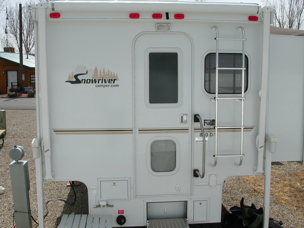
Hi all, we are going on a most excellent adventure: where we are picking up our Snowriver camper, something that we can put on our Ford SuperDuty F-350 truck. We have all ready packed and are now on the road to get the camper.

Please check back often, as we plan (we will see of course) to: upload pictures and travel log.
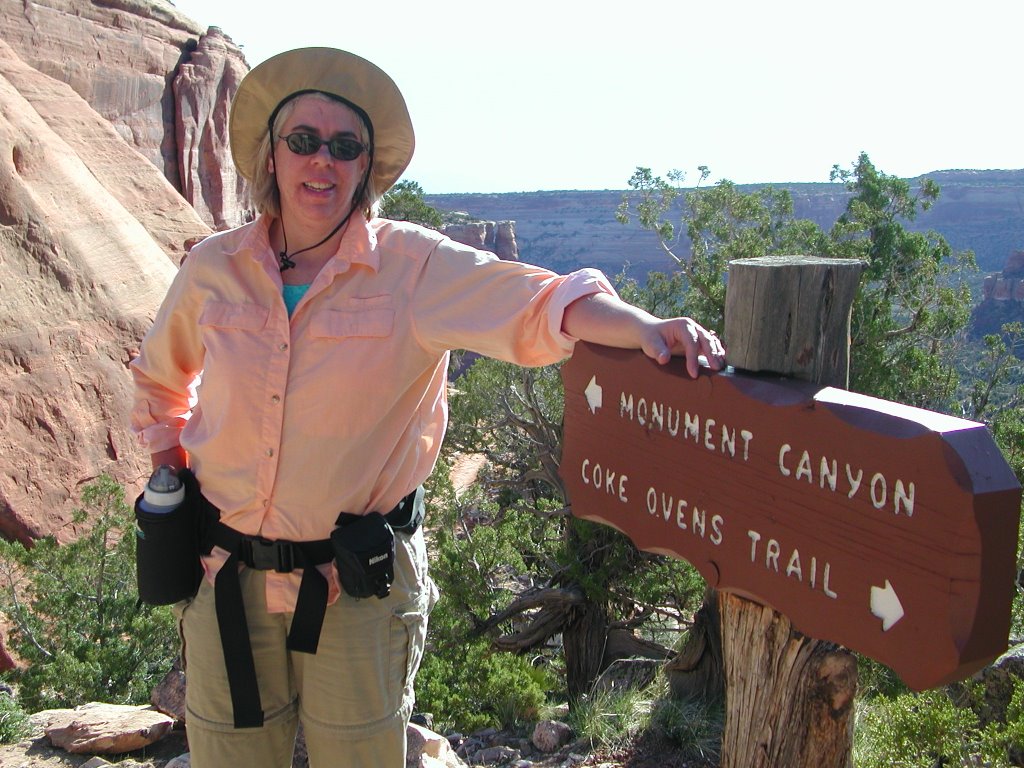
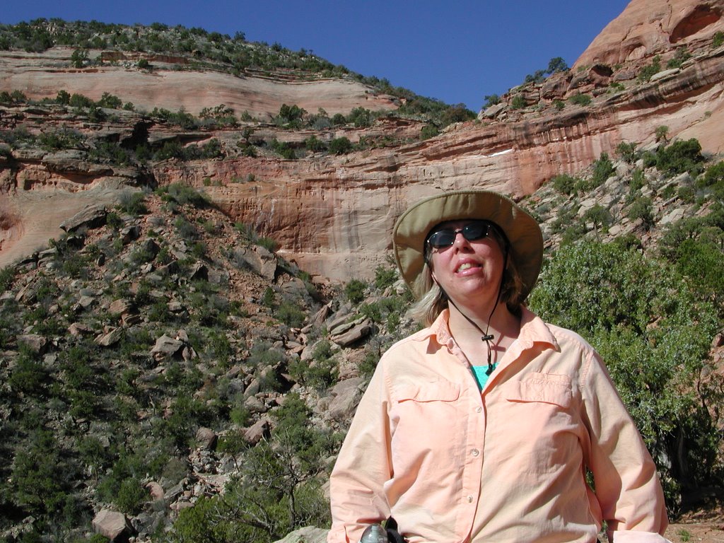
Actually, we now have a couple pages of pictures:
Getting There, Getting Camper, Staying at a Walmart, From a Walmart to Colorado, From Cold to a Desert, Visiting Colorado, Lounge Day, The Mighty Hike, the Wineries, the Downhill Hike (in Monument Canyon), the signage day, our relaxation day and more. The Daily Logs: are now within the pages above, except for traveling days.
Started out writing this on the home page, but it got too long, that was why we made individual pages. But here is the first log that I did-on March 27, 2005:

By the way, trying to write this while on Ohio roads - they are so bumpy!
I am no longer in Ohio, or Kansas anymore, but in Colorado where it is 17 F with the wind blowing the snow off of our camper. There are more pictures to be seen, I have changed the format a little so that the pictures and pages of text are together.

Now we are in Fruita, Colorado, just outside of Grand Junction where it is going for a high of 60 F and blue skies!
Today, April 2nd is also blue skies and warmer still.
April 3rd was the day of the Mighty Hike. Please check on the pictures to see why it is so mighty.
April 4th was winery day -we went to six wineries and did no hiking until the next day.
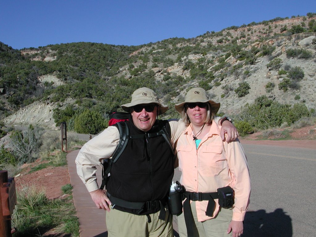
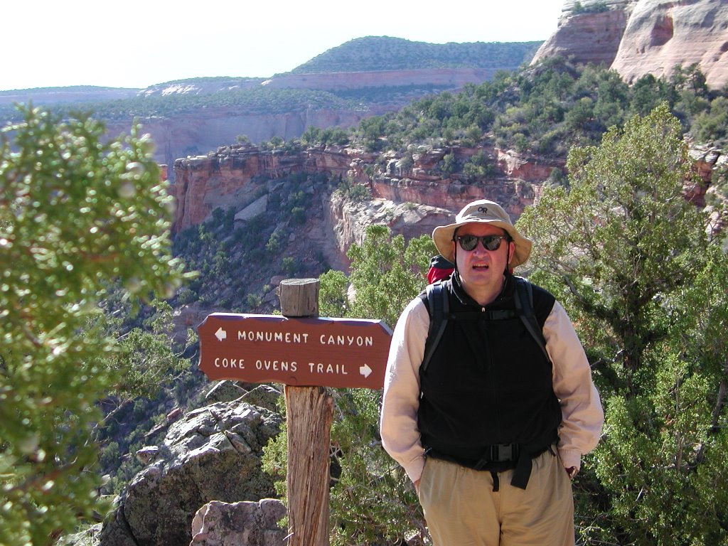
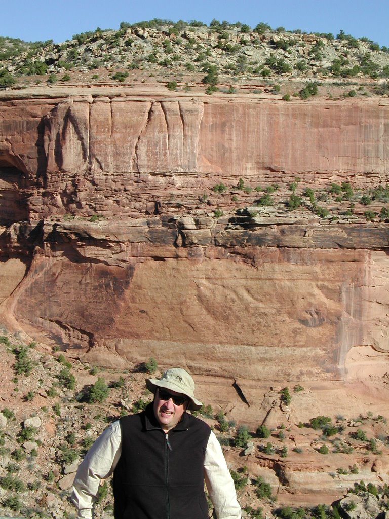
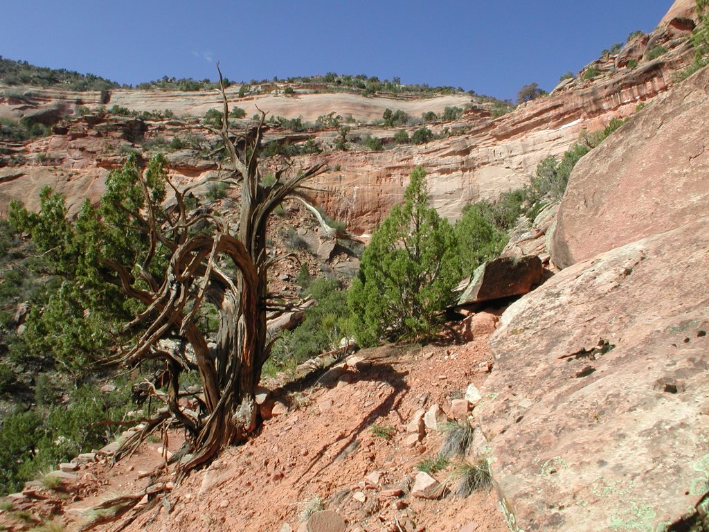
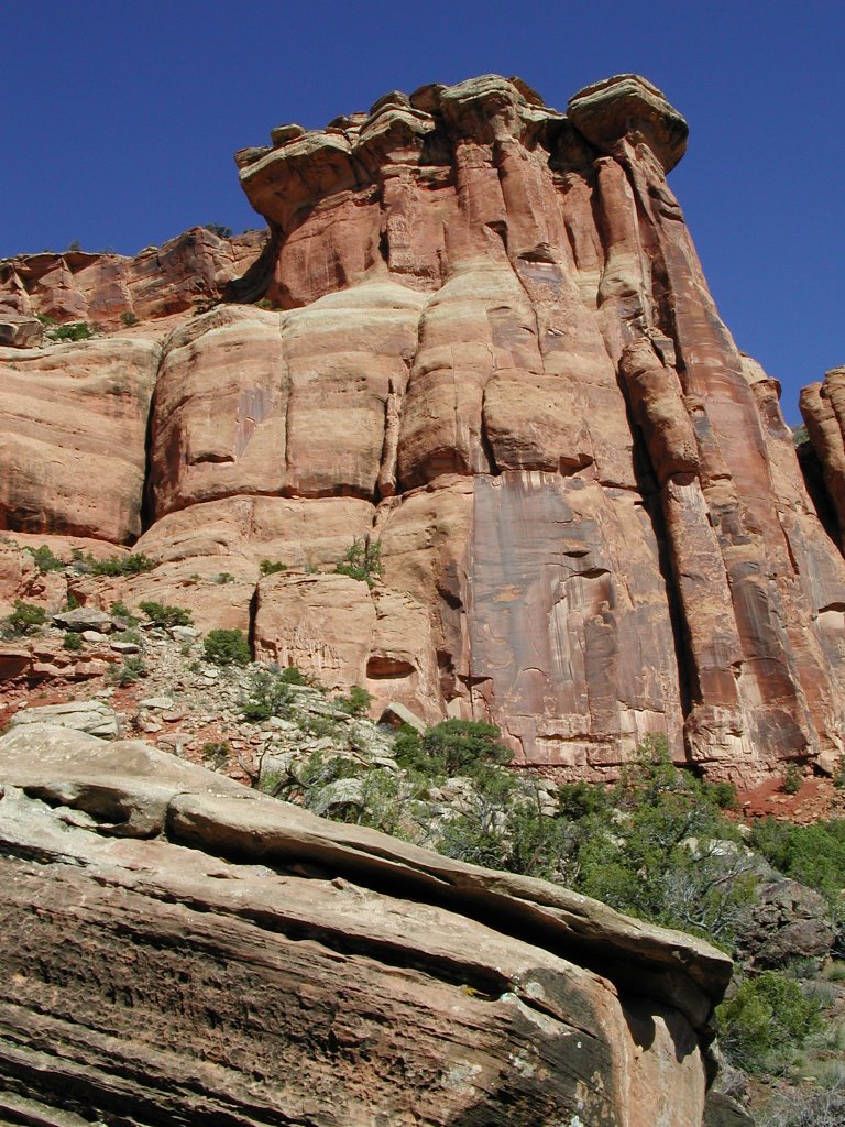
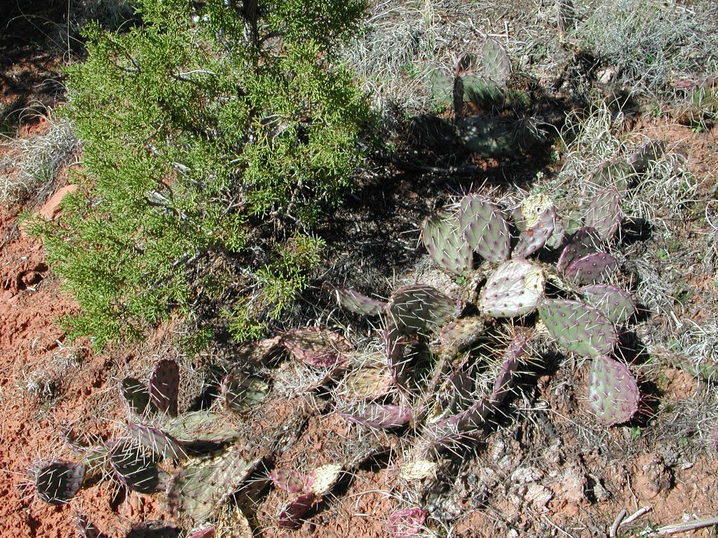
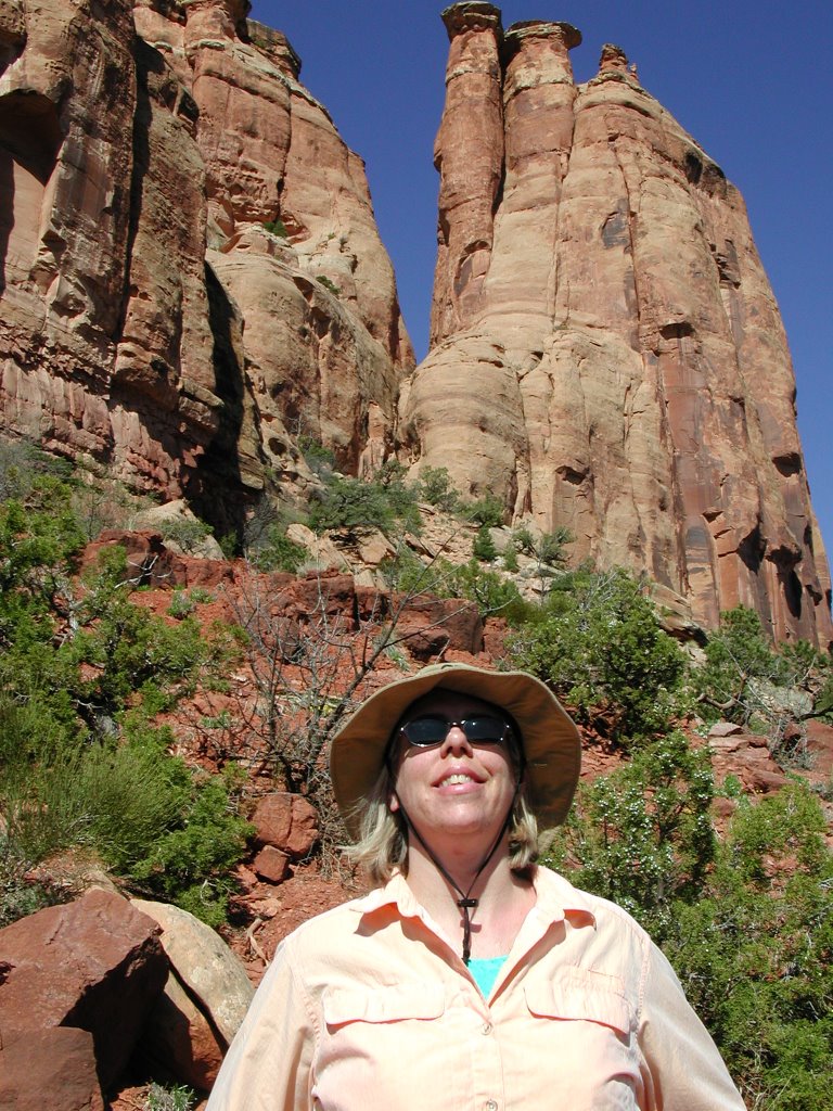
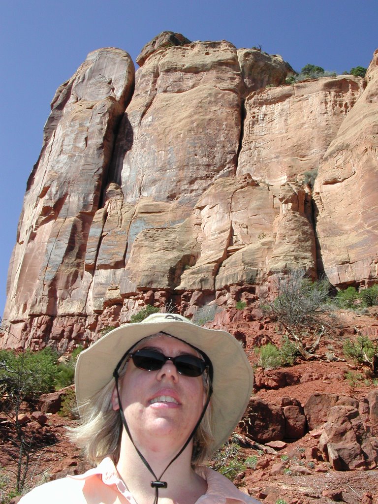
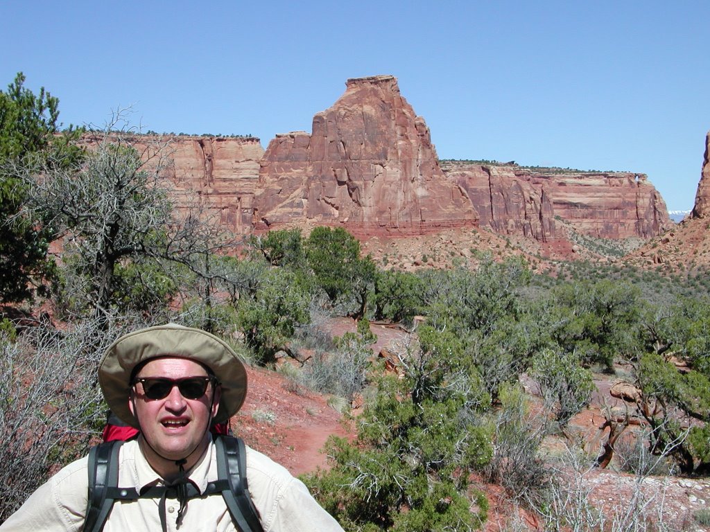
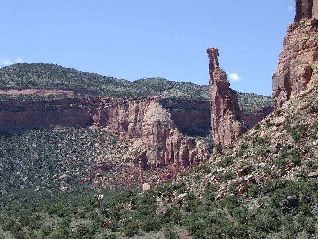
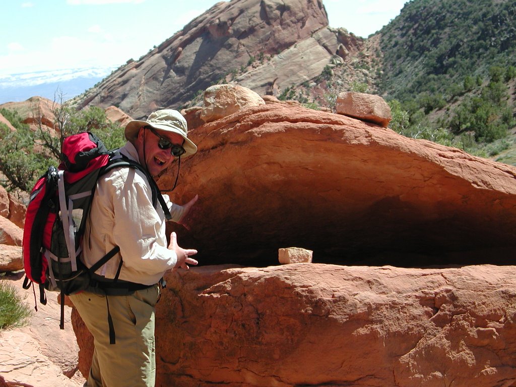
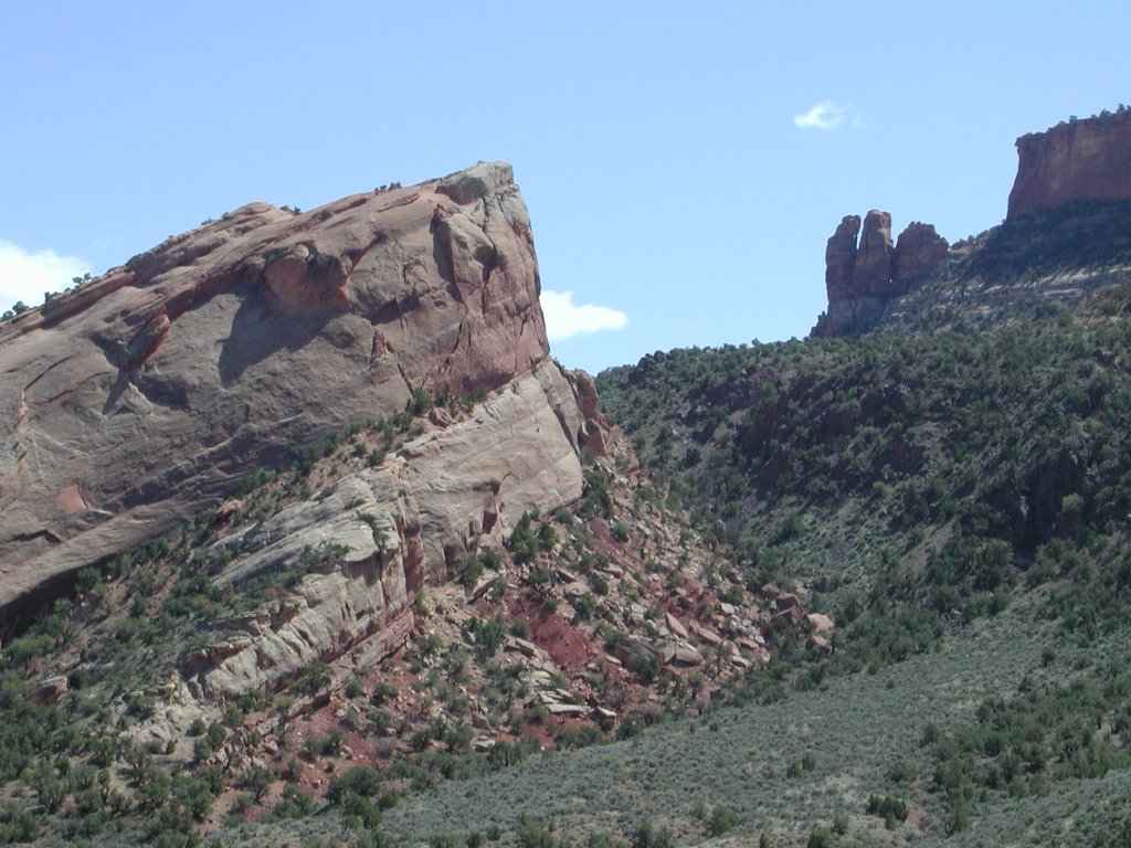
April 5th was another hike day, this time back to Colorado National Monument on the Monument Canyon Trail, a 7 mile downhill trail with beautiful vistas, geology, and biology. The log is on the same page as the pictures, as keeping up a log has seriously cut into our vacation time. We also met with our camper neighbors - Larry and Kathy and spent some time with them that evening. They are such an interesting couple and the information they gave us will help every time we travel with the camper. They have been traveling with the a trailing camper (they actually live in it full time and move when the job moves them) for several years now.
April 6th was a relax, put signage on the camper, and clean up day.
April 7th, we drove back from the Grand Junction area via I-70 thru some amazing scenery and stopped in the Denver area at Five Star RV to have them take care of a couple of punch list items on the camper. We feel that 5 Star really took care of us and would recommend them without hesitation should you be in the market for a camper or similar RV. Once the gang at 5 Star did their magic, we were back on the road.
Now on 1-70 eastbound on the high, flat Colorado-Kansas plains, it was very windy here. We are having problems going more than 65 miles an hour because we are fighting against the powerful southerly cross-wind. We have been using the on-board trip computer in the truck to plan refueling stops and today, for the first time, it let us down. The strong cross-winds fooled the computer, something the driver should of anticipated. At least it happened during the day. We still had enough diesel to make it up an exit ramp. I parked the truck off the side with Laura in it. We were 8 miles short from the planned truck stop. 2 guys heading to a Bass tournament gave me a ride east. Once there, I found Tim the parts guy who just happened to be heading west to Denver to pick up truck parts. We filled a jerry can with diesel and went back west to Laura and the truck. Tim the good samaritan asked for nothing, but got a healthy tip from the grateful travellers. Lesson learned- cross-winds effect mileage!! We didn't make it to our planned stop that night and stayed in Hayes, KS that night in a Wal Mart parking lot.
April 8th we are again on our way home. We hopefully will get moving again, but I was able to upload the rest of the pictures of the last hike and signage at Flying J truck stop because - get this - they have a high speed internet hot spot. And it is fast!

On April 8th we went from Hayes, KS to the western outskirts of St. Louis, MO. We stayed that evening in a Flying J parking lot. I know this is really not camping but, boy is it nice. Hi-speed internet access and a safe environment, plus a good restaurant when you wake up.
On April 9th we plan to go through St. Louis and try to get as close to home as possible. But we plan to take a slightly different route, going through Illinois, Indiana, Kentucky, West Virginia, and Virginia on Interstate 64 to Interstate 79.
Sasha has been very sappy lately, I believe we have found a great way to travel and have become closer because of it. He believes that the camper is good for our marriage. I believe that our parents thought we would kill each other by trip's end, but I think that it really brought us closer together - in many ways. All in all, a very good trip. We will update this website when we get back too, as there are more things that Sasha wanted to add, and I will just have to teach him how to use it.
April 10th our last day: again we stayed at a Flying J last night, driving in at 1 am. We are so close to the West Virginia border, but still in Kentucky.

We are now back home and back to work, but we plan to get other things into the website in the next couple of weeks. See you soon, as we go one the road again.
Second, the Vocabulary:

Bars or Internet Bars: I have a T-Mobile Sony Ericson card that I got - it allows me to get onto the internet anywhere as long as there is a phone tower. It uses the same speeds as dial-up, up to 56 kb. So the more bars, the faster the internet connection, no bars or red bar means I might lose internet connection. This purchase was a great deal as it is $30 a month, which has more than paid for itself last month when I was in NY and they were asking $10 a day for internet service! I stayed 5 days!
ASL: = Above Sea Level. Sasha and I, being from Washington, DC area, have not been much above sea level and now with our GPS (discussed below), we can tell what elevation we are at at any time. I like to log it so that we can tell how high in the sky we are at a moment's notice.
GPS: = Global Positioning System. Sasha bought the Delorne Topo Mapping software and we installed it on my computer. It came with a little device that allows us to beam to a satellite so that we can see where we are on the map. It is great for getting directions and keeping a log as to where we are and how to get to somewhere else.
Temp or F: I like to record the Temperature when we go places, so that you can understand how cold or warm it is. Remember, we are CAMPING, it is just a little better than being in a tent, so if it is cold, we might be a little cold too. As we get better at gauging how much propane is in our tanks, we won't have to feel cold.

Travel Days, Coming Back East

Travel Days - Coming Back to the East
April 7-10, 2005
It is actually taking us several days to come back, partly because of high winds in Kansas and partly because you can not really go much over 70 mph in the truck with a camper. It might also be because we keep stopping at Flying Js to gas up, get food, and the last couple days, sleep.

On April 7th we were raring to go home, thinking it would take three days to get back since we had to go to Five Star RV Center first, and get the checkup and get some other questions answered about the camper. We ran into high winds in eastern Colorado and Kansas, and only made it as far as Hayes, Kansas because of those winds. We stayed in a Wal-Mart and for the first time, took showers in the camper. The showers were heavenly, and we went to bed refreshed even though we were unhappy about the slow process.
On April 8th, we got up slowly, made breakfast, and got on the road around 11 am. I know, what slowpokes, getting up so late and not getting on the road until that time. But again, we hit major winds, and smokey skies. It seems Kansas farmers burn their lands to keep them fertile, but the smell is horrible for those not used to it. Stopped at Salina, Kansas, which is just up the road a piece, and went to a Flying J to upload the rest of the pictures and work on the website. The real reason we did that was because the winds were highest during the day, and we waited until evening to drive. But we had a loooong lunch and surfed and read until 6 pm, when the dinner crowd was coming in. We then got on the road and stopped at a Flying J west of St. Louis. They were packed (Friday night and all) but we managed to squeeze in and get a spot.

On April 9th, we again did not get up until 9 am and got on the road around 12 noon. This time there was no wind, and we stopped in St Louis to see the Arch. The city was not much to look at but maybe we came in from the wrong side or something, but it was dirty and downtrodden were we saw it. We did not even get up fully to the Arch but took pictures on the way. We thought that where we were parked, someone might break in and steal or that they would tow away the truck. We got back on the road, this time going on Interstate 64 and the signs, well, they were not very good.
Meanwhile, my cell phone had stopped service; it kept saying No Service. This had started in Kansas City and we thought that maybe Cingular was not in that area, but when I looked at my phone today, in St Louis and it was not working, let's just say that I was frustrated. So I called them up, (because Sasha's phone was working as well at the internet) and got disconnected 3 times before I finally got someone who told me that my phone was too old to work on - but they tried to ping it several times to get the service back. The last time we got disconnected, I looked at my phone and the service was back on. It states that it is on ROAM, but it works and I can get messages, but it looks like I will be getting a new phone in a couple of days. I have had that phone about 5 years, having gotten a new phone about 2 years ago, and then it petered out within a couple of months. So I switched back to the old phone - but I guess it is time to change. You would think as a technology person, this would not be a problem, but I like to stick to what I got, for as long as possible.
So here we are, back at a Flying J again, this time in Haubstadt, Indiana (just over the border into Indiana, where Sasha emptied the black tank, the gray tank and filled us back up with clean water. He filled up the tires with air (he said that that part went very fast - was able to get 120 psi like we are supposed to have) and we had taken snoozes and ate. I worked on the website and Sasha read his book. I will be driving the camper for the first time this evening. We will let you all know tomorrow if we have crashed.

April 10th - well, we did not crash, but I drove until my eyelids were droopy, around 1 am. Again we stayed at a Flying J, this time in Ashland, Kentucky. We stayed here overnight and had breakfast the next morning. We had taken showers the night before, it is so nice to wash the grit off of you face in your own bathroom. We will be coming home today as we both are working tomorrow. With high speed internet access, these flying Js are great. I can check my email, work on the website and download everything.

Hope you all have enjoyed the log and we'll be back soon to update the rest. But I am hungry now and we have to go soon, we'd like to get home before nightfall. (Well, that did not happen, we got back around 8 pm, with some time to unpack and watch a show before going to bed.) Oh, well.

Day 11 - April 6 - Signage Day

Signage Day
April 6, 2005
Hi all - yes we know, having signage on our camper seems a little kooky but since we made up this website, we thought it would be great to have something else for people to look at before they pass us on the road. We went to Angel Sign Company and had someone come out on April 6th, our relaxation day before we came home. Here are a couple of the pictures before and after:
This is the back of our camper before the signage. As you can see, the Snowriver camper logo is in the middle of the area that we need to work. The bottom of the camper is where we are going to put the website, as that is where people can see it easiest.
As you can see, he is almost done with the signage, he used vinyl
which is the same material as the
Snowriver camper logo material and looks almost the same, so it will take a long time before it starts to peel off.

Our excellent adventure is almost at an end, but this log on the website will live for a while, until the next adventure.
I just wanted to mention that after we got the sign on, we washed up and had a nice rest of the day - because the next day was a travel day. After the sign was done, we got the camper BACK on the truck, with a little bit of back and forth driving to get it perfect, but no real arguing and no hitting the truck with the camper (or visa versa). We managed to clean up everything that evening and still play a game of Life before going to bed.

Day 10 - April 5 The Downhill Hike

The Downhill Hike
April 5, 2005
April 5th, the day of the Downhill Hike - at Colorado National Monument on the Monument Canyon Trail

-Sidebar-This post will have some lots of pictures -this place was fabulous and if I could have, I would put pictures everywhere, BUT it would probably take forever to load. So please be patient, and I have put the best pictures in. - End Sidebar -


This is the day of another big hike; Sasha had talked to one of the campground managers regarding getting a lift to the top trailhead, so that we would be going downhill the entire way for this hike. He agreed to do it which was nice, as we had tried a couple of other commercial places and they would not do it. I guess it is too early in the season for them to be carting people to the top of trailheads. So Sasha got him to do it.

We started early - he had asked us to meet him at his trailer at 8 am. We had a hearty breakfast of oatmeal with all the fixings. We then started off, he in his truck following us to the bottom of the trail where we would deposit our truck and then got into his truck.

Side note-we forgot our walking sticks and remembered them half way up, but at that point we did not think we would need them, I’ll discuss why later.)

He drove us to the top, where the trailhead was and stated that if he did not see us by 5 pm that evening, he’d get the park service out to check up on us. Very nice gesture on his part, we thought.

We took over 75 pictures this day and will try to post the highlights here. There were so many vistas and views to take in so that we could make even an attempt to display what we were seeing. All of the pictures shown were taken on April 5th.
At the Top!

This was an awesome hike and probably the highlight of our vacation!! Words cannot really describe what a beautiful place this is. We started out by talking our Campground Manager into shuttling us to the top. We dropped our truck off at the bottom trail head and Dan kindly drove us to the top and dropped us off. This wasn't too much trouble from him as the Campground was just down the road from the park and convieniently situated to both trail heads. The picture here was taken by DanSasha at the signpost to the Coke Ovens when he dropped us off at the top of the trail, just before leaving us to ourselves in this very uncrowded jewel of a park.

Here is Sasha maybe a 1/4 mile down from the summit. The trail splits off for a short dog leg (small walk) to the Coke Ovens overlook, which we of course took.
Sasha standing at the Coke Ovens overlook. The opposing rock formation has about a 600' vertical sheer face. Straight down. You can see the last switchback at the bottom left of the wall. It is amazing that a trail was even built in this place. Furthermore, compared to the trail in Rattlesnake Canyon, this trail was extremely well maintained and marked, making for some really fun hiking. The decent here is very similar to the Bright Angel trail coming off the top of the Grand Canyon.
Laura at the same trail junction just off the top trail head, after we returned from the Coke Ovens.

PictureWords

Getting Warmer
Going down the switchbacks, getting warmer. I took off my vest.
Laura Going Down!Laura descending
Coke Ovens in ShadowProfile view of Coke Ovens with overlook at top right. That area is the ending point of the dog leg trail.
The Rims of the CanyonView from the trail via wide angle lens.
Laura on the trailLaura again. The Monument Canyon Trail comes directly down the area over Laura's left shoulder, although the switchbacks aren't too visible. The road can be made out in the top left.
Coke Ovens from Farther AwayCoke Ovens via telephoto. Observation area gate can be seen on top right.
a little further away from the ovensLaura and Coke Ovens.
Sasha in the RedSasha at a mud flow.
Bottom of the Steep PartLaura at cairn at bottom of switch backs. We are now in a different enviromental zone.
Beautiful ViewsView of valley below.
Red RocksAmazing! But we can't remember which view this is - I think Cleopatra's Couch but I'm not sure. Each time you look up at these rocks you need to make sure to steady yourself, otherwise you would fall over backwards. All the rocks are so tall and you feel so small in comparison. Great for those on a diet.
Right upper corner we were there!Valley View
Cool CactusCool Cactus!
Pipe Organ MonumentWe come up to the rocks and can walk right underneath their beauty.
A closer viewLaura underneath the Monument
View of kissing couple & monumentThis monument is called the Kissing Couple. And you can see the Independence Monument in the distance. We are going to get there soon.
Independence MonumentThe Independence Monument in the distance
Laura & SashaLaura and Sasha with the Kissing Couple to the right. We ran into another pair of hikers that day, Rob and Attila. Rob was kind enough to take our photo.
Close up of kissing coupleClose up of kissing couple
Almost at the monumentSasha and I keep seeing "the Monument" but haven't quite gotten there.
At the monumentcloser again
Attila Laura and RobThese were the two guys we met on the trail. That one picture (above) has both Sasha and I at the Kissing Couple, well, either Rob or Attila took that for us. It was nice to have company on the trail, as there was NO ONE else there.
Moving away from the monumentsThis was the view as we were leaving. Rob and Attila went back.
Check out the trailjust wanted to show you all the trail, hopefully you can see that blue arrow and the word TRAIL. That was were we walked. Right underneath the monuments.
Sasha and the FrogSasha with the Frog. A couple of rocks had fallen from above and someone was cute enough to put these rocks to make a face.
Almost at the bottomYou can see the monuments to the upper right of the picture. That is how far we walked (but only shows half of the journey.)
Yea! At the Bottom!There was this guard rail so that big rocks and other stuff would not go into the valley below. This really was not the true bottom, we had to go along a fence and expensive homes first and then we landed at the parking lot.

This hike took us about 6 hours but that was with picture taking and talking to Rob and Attila on the trail as well as just enjoying the trip. We had enough water this time around and could really enjoy the scenery more than the other trail. We went back to the campground immediately so that we could wash up and enjoy the evening.

Check out the Signage that we did to the truck and about our evening with Larry and Kathy, our next camper neighbors at the campground with the next post.

Laura-n-Sasha.com = "Loves the Outdoors, with the exception to Bugs." -- Laura Jevtich of Laura-n-Sasha.com